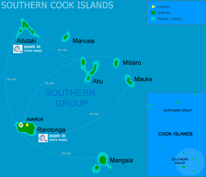
The Cook Islands are in the South Pacific Ocean and are self governed in a free association with New Zealand. Therefore the New Zealand Queen's Representitive is the Head of State and the Chief Minister is the Head of Government.
While there are 15 islands that make up the Cook Islands, the actual land mass only covers 240 km². This is tiny compared to the water coverage which is over 1.8 million km². The Islands were formed by volcanic activity and helped develop 2 reefs and 6 atolls.
There are several hotels, motels and resorts located on the largest of the Cook Islands, Rarotonga. The capital of the Cook Islands, Avarua, is located on the north side of Rarotonga. Rarotonga also has the majority of the population and is surrounded by a lagoon that meets the reef in some areas. After the reef, the ocean floor slopes away quickly and on the north side of the island the reef meets the beach and is unsuitable for swimming and snorkelling. On the south side of Rarotonga is Muri Beach where the lagoon is at its deepest and widest. The area is perfect for all kinds of water sports.
Rarotonga Map - Cook Islands
Aitutaki Map - Cook Islands